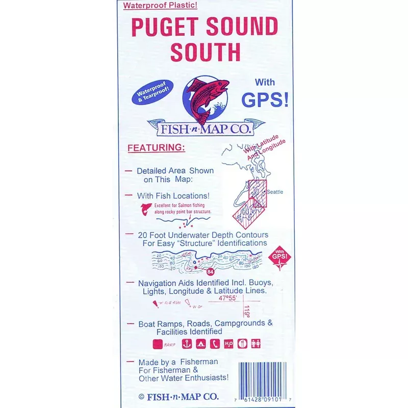
Puget Sound South Chart by Fish n Maps Company.
Features:
- Includes 20 foot underwater contours for easy identification of structures where fish lie
- Navigation aids identified including buoys, lights, longitude and latitude lines
- Boat ramps, roads, campgrounds and facilities identified